The IKI project “Cultivation of Energy Crops on Post-Mining Sites (CPEP)” has demonstrated that the cultivation of energy crops on post-mining sites is feasible despite challenging growing conditions. It also offers clear co-benefits such as improved soil quality, which can support the economic or ecological reuse of the land in the medium term. In addition, expert discussions during the project revealed a high level of political will to promote the cultivation of energy crops in Viet Nam, in case there is no trade of with food production. Further interest was expressed in considering other types of marginal land along with mining land. However, to date, comprehensive data on these marginal lands in Viet Nam is not available for designing reliable land use planning. Therefore, as part of a follow-up activity for the CPEP project, the idea was to develop an inventory scheme to characterise, quantify and map marginal lands in selected provinces, using existing in combination with survey and monitoring activities. As such, the marginal areas that can be used for energy crop cultivation were mapped, evaluated and assessed for potential availability in the catchment area of two bioethanol plants operated by Tung Lam in the provinces of Dong Nai and Da Nang, located in Southern and Central Viet Nam.
For the methodological approach, areas identified as marginal were digitised as polygons in a GIS using recent aerial photographs. In addition, geospatial information relevant to the project – such as geology, soil types, vegetation and administrative boundaries – was georeferenced and integrated into the GIS. In this way, further information could be added to each area analysed. Only areas larger than 5 ha, considered to be the minimum size for economically viable energy crop cultivation, were included. In addition, exclusion areas have been defined, such as contiguous forest areas, protected areas, settlement areas and areas used for agriculture, as these areas are generally unsuitable for energy crop cultivation.
Among 1,016 marginal areas were mapped in the provinces of Dong Nai, Ba Ria-Vung Tau and Binh Thuan, not all were considered suitable for energy crop production. The main reasons for this classification are the presence of sandy and/or rocky soils and steep slopes in these areas (Figure 1). In total, about 2.5% of the combined area of the three aforementioned provinces in the southern study area can be considered marginal. In the provinces of Da Nang and Quang Nam, 164 marginal areas were identified, however, similar to the findings in the South – only a small proportion is suitable for energy crop cultivation. Analysis shows that sandy soil is the most common reason of soil degradation in Da Nang, accounting for 46% (Figure 1).

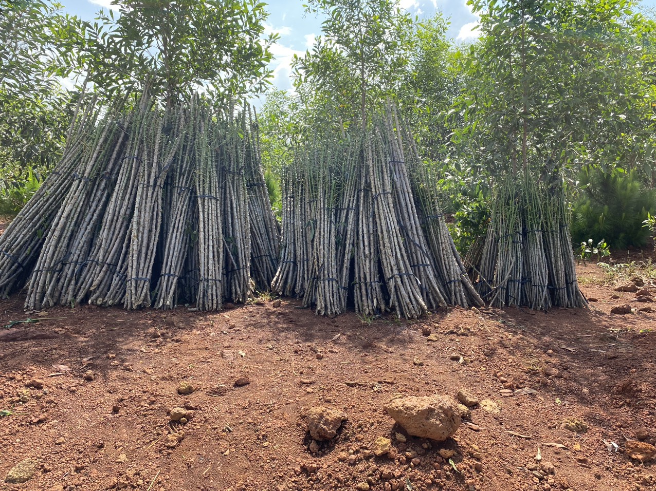
Due to the expected data limitations of remote sensing alone, in a second iteration the aerial survey sites were partially verified by visiting selected sites based on a stratified random sampling design. On the one hand, the selection of the visited sites was based on the types of cases identified (sandy soils, erosion, etc.). On the other hand, an appropriate level of accessibility was required for the practical implementation of the inspections. One example from these ground checks is presented in the Figure 2. The area with the code number 1131 is suitable for the cultivation of energy crops; cassava is already planted in the surrounding area. The reason for not planting is a somewhat rocky and uneven subsoil. However, due to rocky and uneven subsoil, energy crops haven’t been planted.

In summary, a total of 1,180 marginal areas were identified by remote sensing for both study areas in Viet Nam, including 107 mining sites. However, only 72% of the land in the South and 44% in the North were found to be suitable for energy crop cultivation. Common reasons for considering these sites unsuitable included signs of enar-time re-use, clearly visible erosion damage and the risk of flooding. In the end, 800 sites remained that could be considered potentially suitable for energy crops (Table 1). Some of these areas were verified by field inspections to check the plausibility of the aerial image analysis. These inspections revealed that some of the mapped marginal areas were already in use or about to be used, especially in areas with infrastructure and fewer site restrictions. As a result, the total number of potentially suitable areas must therefore be revised downwards due to the uncertainties associated with the aerial image analysis.
Table 1: Summary of number and size of remotely sensed marginal sites in the two study areas in Viet Nam.
| Number of Sites | Saher (%) | Size (ha) | |
| Suitable sites | 800 | 68% | 22,185 |
| Unsuitable sites | 380 | 32% | 13,682 |
| Sum | 1,180 | 100% | 35,867 |
It should be noted that in most of these sensed areas, energy crops can only be grown if massive measures are taken to compensate for the limiting factors. These measures include high costs for irrigation, fertiliser and substrate. It is questionable whether these measures would pay off in an already tight renewable energy market. However, the mapped areas could be ideal locations for photovoltaic or wind power generation and should be explored in this respect – in this way the results could still help to promote the expansion of renewable energy without competing with food production. At the same time, Viet Nam’s Prime Minister approved a new plan for mineral extraction (866/QD-TTg, Approval for Planning for Exploration, Extraction, Processing and Use of Minerals for the Period of 2021-2030 with a Vision to 2050), which will significantly increase the area required for mining after 2030. In the near future, therefore, Viet Nam is expected to see a significant increase in post-mining land, which will dramatically increase the amount of marginal land. As a result of these exploitation plans, there will be a future need to develop land use planning strategies for these sites. The approach presented in this article is a sound demonstration of how these sites can be systematically categorised in a GIS as a first step to develop land use planning strategies – a response to the ever-increasing land use pressures in Viet Nam.
To learn more about the first phase of the energy crop cultivation project on former mining sites, please visit: Cultivation of Energy Crops on former Mining Sites on a Pilot Scale in Viet Nam
Contact: Ute Mark & Dr. Harald Mark, mark@msp-bochum.de; Dr. Arne Reck, arne.reck@ufu.de;